Unfortunately, Ennerdale View’s hot-tub (its selling point, as far as we were concerned), was turned off, so we couldn’t use it. Their internet connectivity worked just great, however, so we made phone calls back home.
The next morning started with a gorgeous setting and an excellent English breakfast. Then Tony provided the packed lunches, and announced that since he had no driver today, he was unable to provide a lift back to Ennerdale Bridge. This added 1.5 miles of downhill to the walk, so I was unhappy, but there was nothing to do about that at this time.
The walk down to Ennerdale Bridge had to be interrupted a few times for Boot adjustments until I figured out that I should mole skin my heel vertically. We reached Ennerdale Bridge slowly, and then headed for the Lake. The walk there took more than the twenty minutes the book stated, so I knew we were going to be on a leisurely schedule today. The high route was out of the question, given our soreness and Lisa’s objection, since even the Ennerdale lakeside trail was giving us trouble on account of the previous day’s activities.
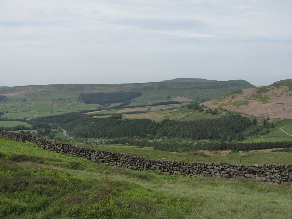
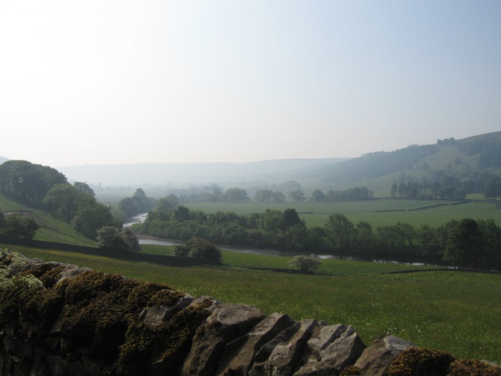
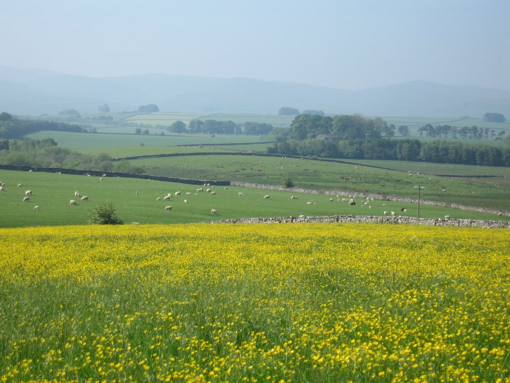
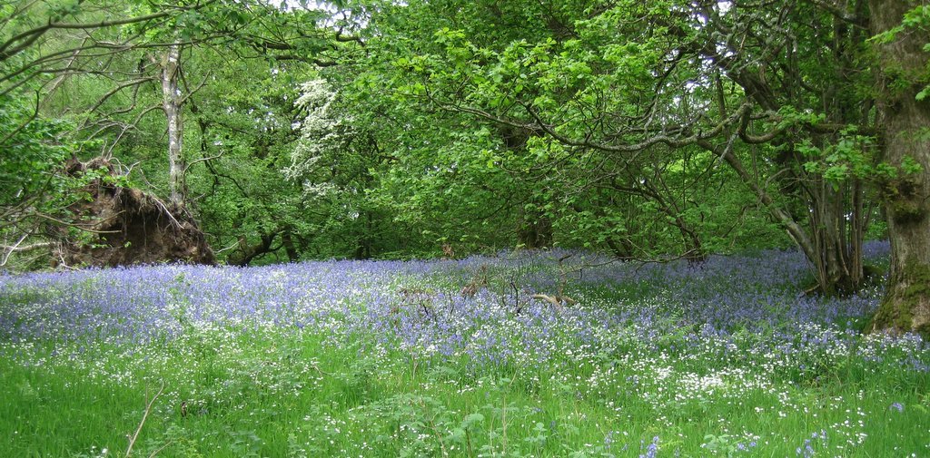
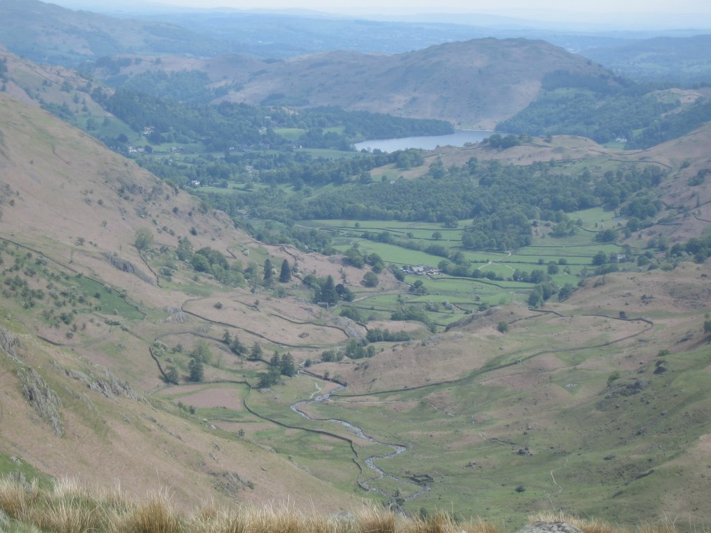
The lake was beautiful, with the ever changing light giving us new views from the same scene seconds apart, showing us the glorious English country side in all her beauty, homes, squared off fields with their fences, and lush greenery everywhere in sight.
Past the hike, we had a choice between the Bridle track or the “official route”, which was warned to be hot and dull. Given the general coolness we were experiencing, we had no fear of the heat, and after all that excitement yesterday, a little dullness would not be unwelcome. The reality, though, was that the official route was only dull compared to the high route --- the trees alongside the road were beautiful, and the views of the surrounding value in the areas that had been clear cut provided a backdrop that made the dullness fade. Still, our condition made the route slow going. A tailwind provided a little support, but the road was a gentle and relentless uphill, which slowed us down more than it should have.
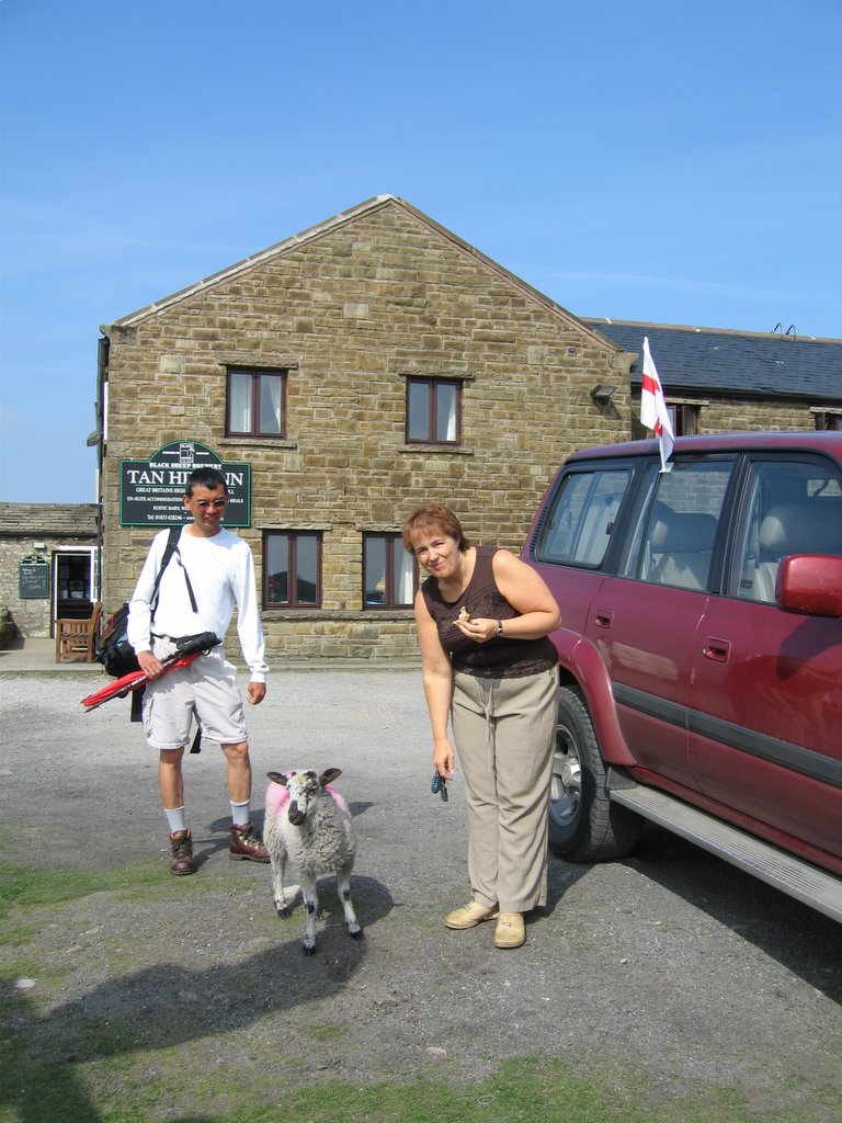
By the by, we arrived at the Black Sails youth hostel, where we met a woman named Rafael and Richard. They were doing a long hike in the opposite direction, doing all the high ridges that are part of the coast to coast. Rafael was an experienced hiker (no, she did not have brothers named Michaelangelo or Donatello) and pulled out a topo map that showed the way. I would have been better off keeping my counsel and following the book, however, since her directions ultimately confused me. Lisa had tea and potato chips while I had an apple.
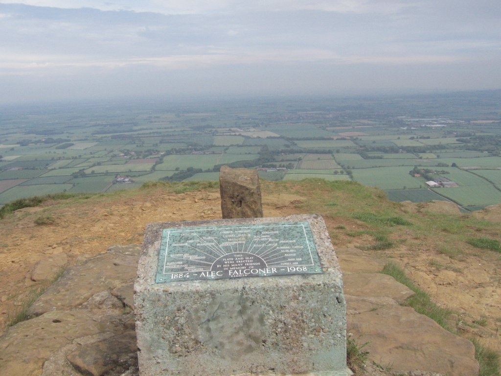
After we were done we headed up the hill, which after meandering for a bit, became a steep climb. We took the climb slowly, one step at a time, and soon were in sight of the cairns at the top, which arrived far rapidly than I anticipated. Over the sheep fence, I got confused and saw another cairn off in the distance. The detour to check and make sure it wasn’t the path Rafael described cost us half an hour. Fortunately, there was signal at the top, so I called our Inn to make sure they didn’t give away our beds. Ann, the owner of Knotts View informed us that it was a busy night at the town so we should have dinner before arriving at the Inn.
A dark cloud came in between us and the sun, lending the afternoon a brooding, dark mood. We were both tired and footsore, and our speed was a mile and a half an hour, if that. The trail was inlaid with rocks to prevent erosion, but that made our progress even slower. Surprisingly though, any pain in my ankle was gone --- it was as if 10 hours of walking in those boots finally melded them into my body. Two couples passed us as though we were standing still, and though the dark cloud eventually passed, we only made it down to the Hornister Youth Hostel at 6:00pm. At that point, hungry and worn out, I realized that we would make it to Knotts View only by 9:00pm. Fortunately, a couple had just pulled into the parking lot and finished shooting pictures, so we asked for a ride to Seatoller and they accepted.
Once in the car, they found out that we were staying in Stonethwaite, and made up an excuse that they were going there to eat anyway, and coincidentally happened to pass Knotts View and drop us off. We must have looked a sight when we arrived at Knotts View, since the owner immediately ushered us into our room, told us to take a shower, and then she’d drive us to Rosthwaite at the Scarfell Hotel where we could have a bar dinner.
She could not drive us back because she was expecting more guests (who never did show up), so after dinner we walked the 15 minute walk back in about 25 minutes, aching and with feet throbbing. There was no question that we would sleep well that night.
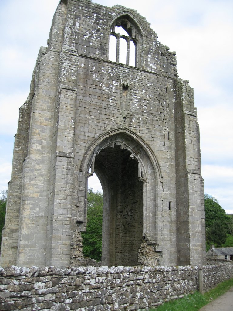
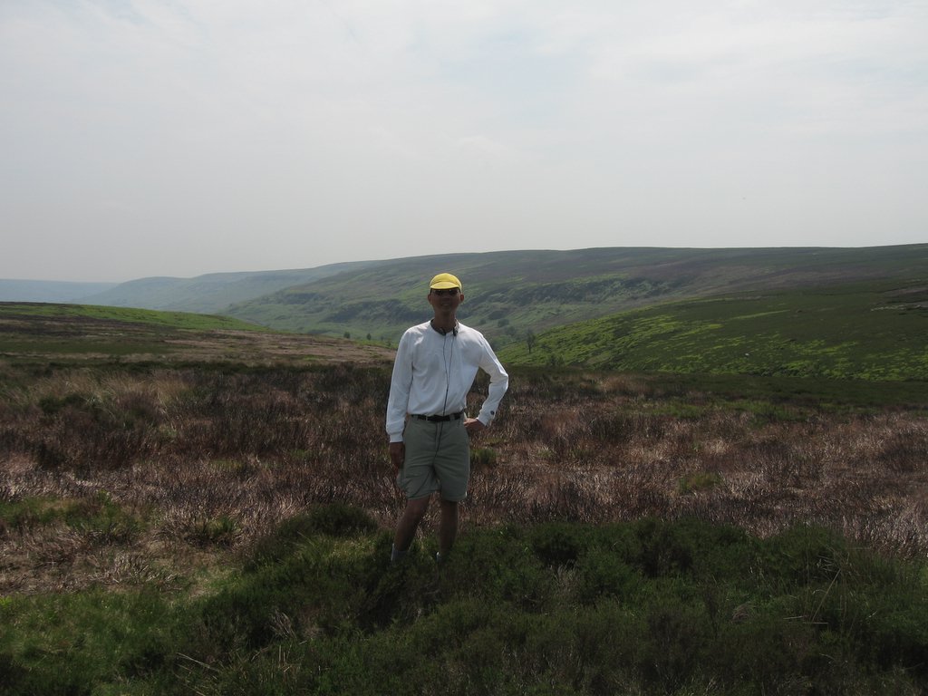 At 17 miles out of 21 miles to go, in the Yorkshire Moors along the Rosedale Ironore dismantled railway.
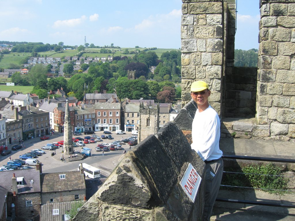 Richmond's market square is supposed to be one of the largest in England, but we were there on a Friday, not a Saturday, so it wasn't filled with stalls...