We left Patterdale early in the morning, and climbed up a nearby ridge to see mottled morning light cover Patterdale like little spotlights. On the way over the ridge we met Peter and Margaret, two walkers from Australia. Demonstrating the small world that we're in now, it turned out that Peter knew Tristan Lawrence from work, and we had quite a good chat as we walked along --- Peter and Margaret pointed out the 1500 year old Roman road that we saw as we went along.
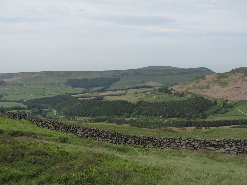
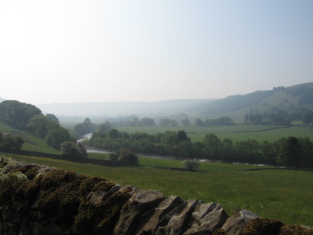
After some pictures, we got separated from them and got ourselves lost. We did find ourselves down to Hawsewater reservoir, however, by following some sheep-trails towards the water. Hawsewater itself was a boring up and down again with stone-strewn trails but the woods along Hawsewater Beck after the dam was nothing short of beautiful --- bluebells lay alongside trees with a stream running through it, with sheep grazing peacefully alongside.
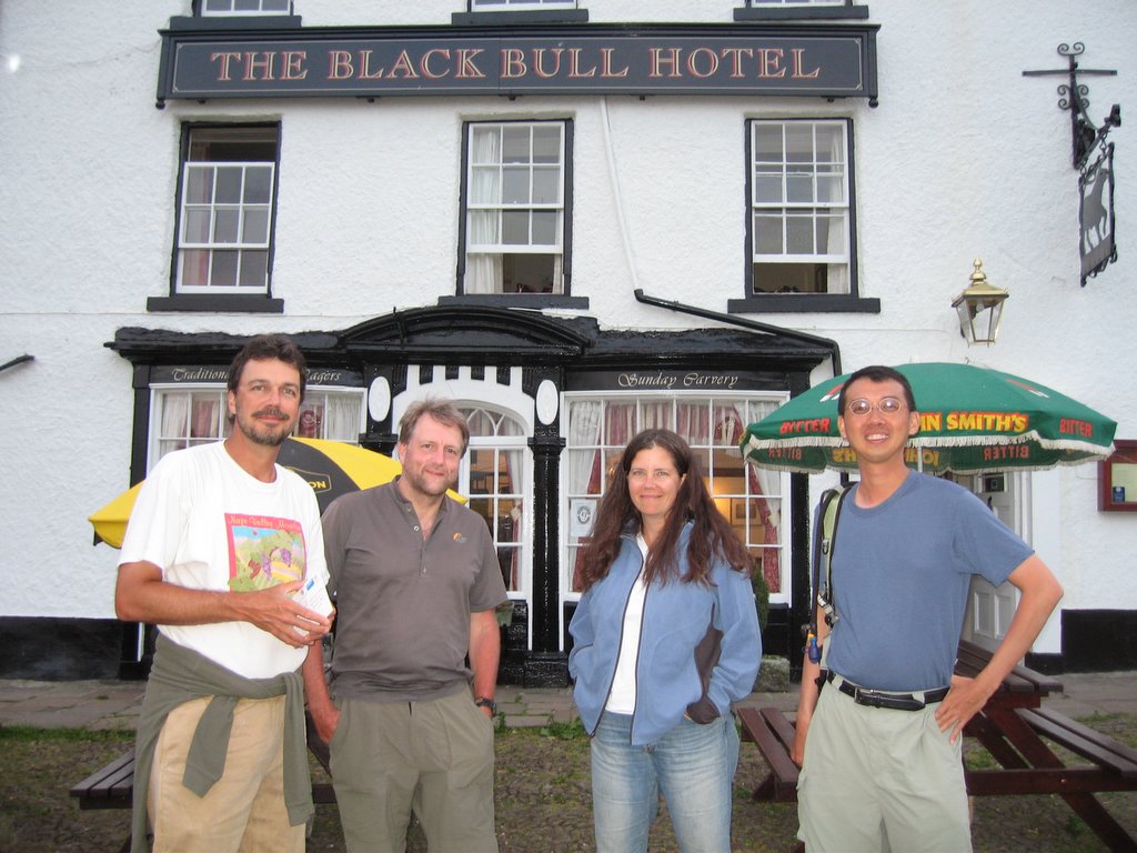
The last bits of farm trekking was wearing, however, and we arrived at Shap Abbey tired and cursing the last driveway out of the Abbey towards Shap. We reached Shap to run into Peter and Margaret on the way to dinner, and we joined them before going on to our guesthouse, the Brookfield Guest House at the end of Shap.
Our hostess there, Margaret Brunskill was extremely helpful, and offered to do our laundry the next morning! When she could not dry the clothes in time, she hand-delivered the laundry to our next B&B in Orton the next day! We cannot recommend the Brookfield Guest House enough --- the facilities are amazing, the breakfast she made for us amazing, and her company was excellent.
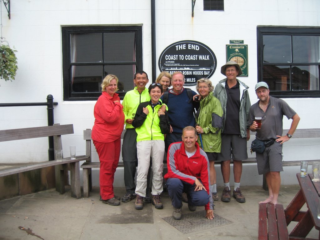 Yannika, Piaw, Lisa, Margaret, Peter, Eric (squatting), Bey, Andy, and Ray.
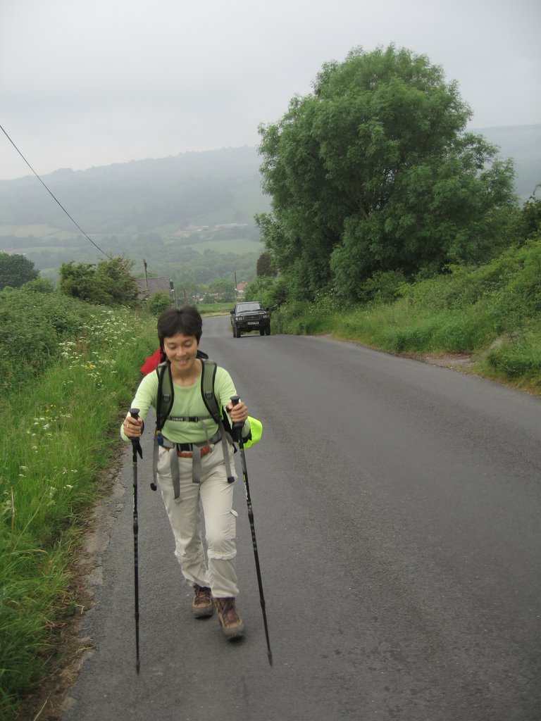
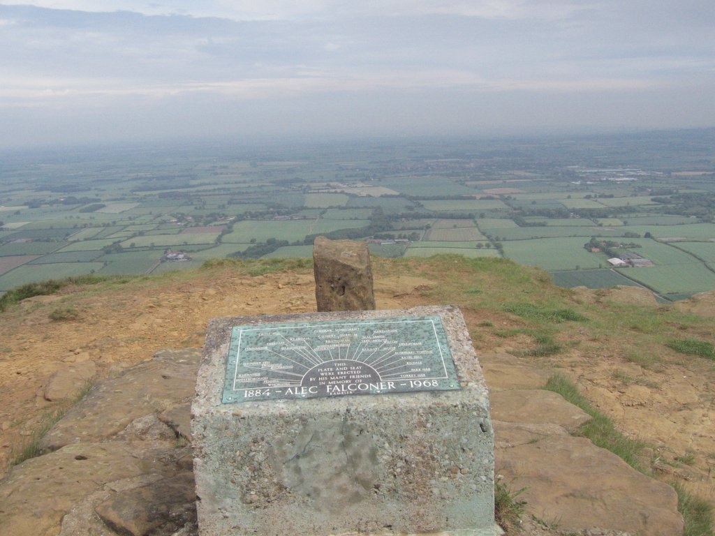
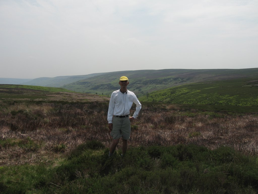 At 17 miles out of 21 miles to go, in the Yorkshire Moors along the Rosedale Ironore dismantled railway.
 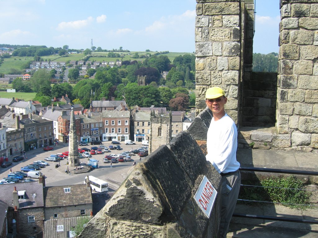 Richmond's market square is supposed to be one of the largest in England, but we were there on a Friday, not a Saturday, so it wasn't filled with stalls...