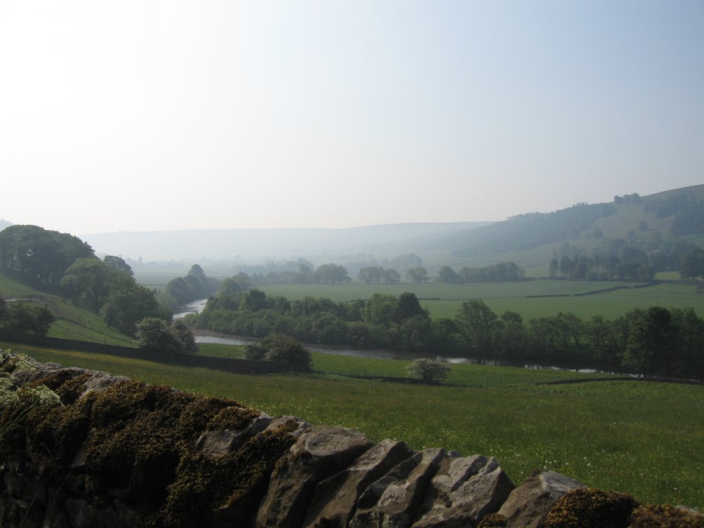
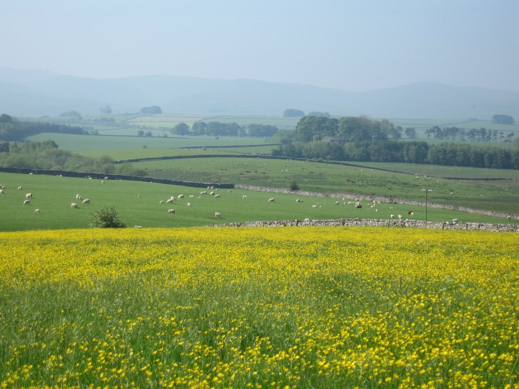
The book describes this as an easy day, and it was indeed easy at first, a gentle descent into Swaledale from Keld. We opted out of the high route, which took us over lead mine country, and then saw beautiful buttercup and grass fields next to a stream. By lunch time, however, things had heated up dramatically, and we were baking in the heat.
The climb out of Gunnerside and the descent into Kearton through an unmarked footpath, however, was more taxing than expected, and to walk into Reeth at 5:00pm after a 10:00am start was a relief. We definitely considered this not an easy day, beautiful views notwithstanding.
Friday, June 09, 2006

On top of Richmond Castle looking at the Market Square
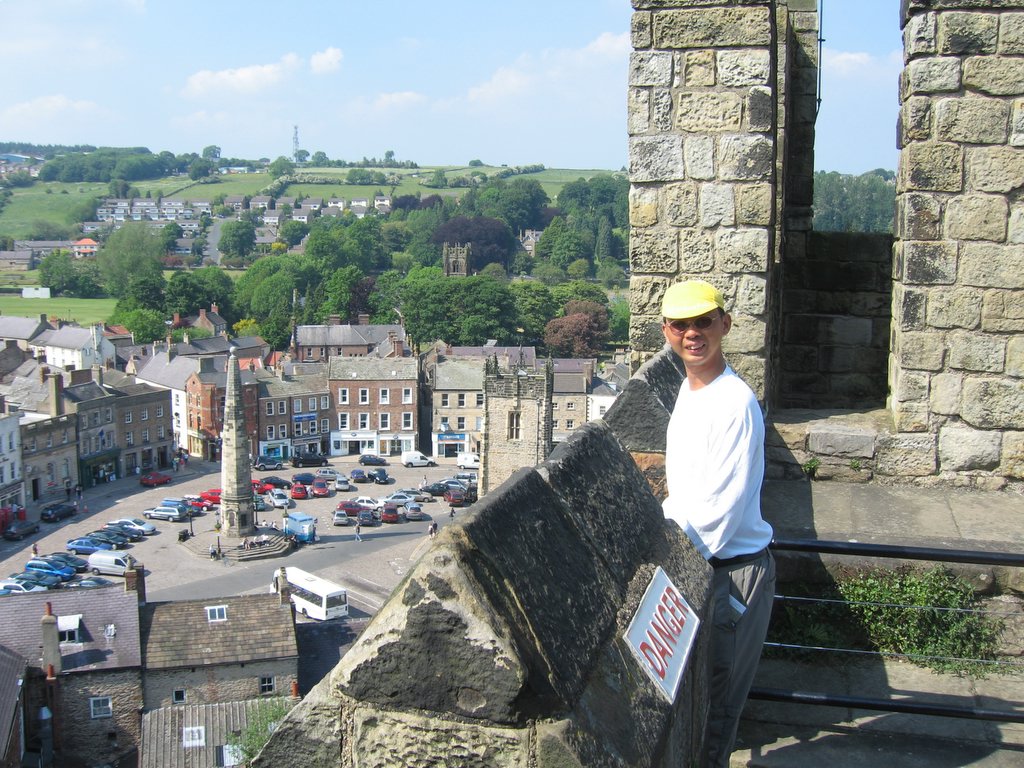 Richmond's market square is supposed to be one of the largest in England, but we were there on a Friday, not a Saturday, so it wasn't filled with stalls...

Wednesday, June 07, 2006

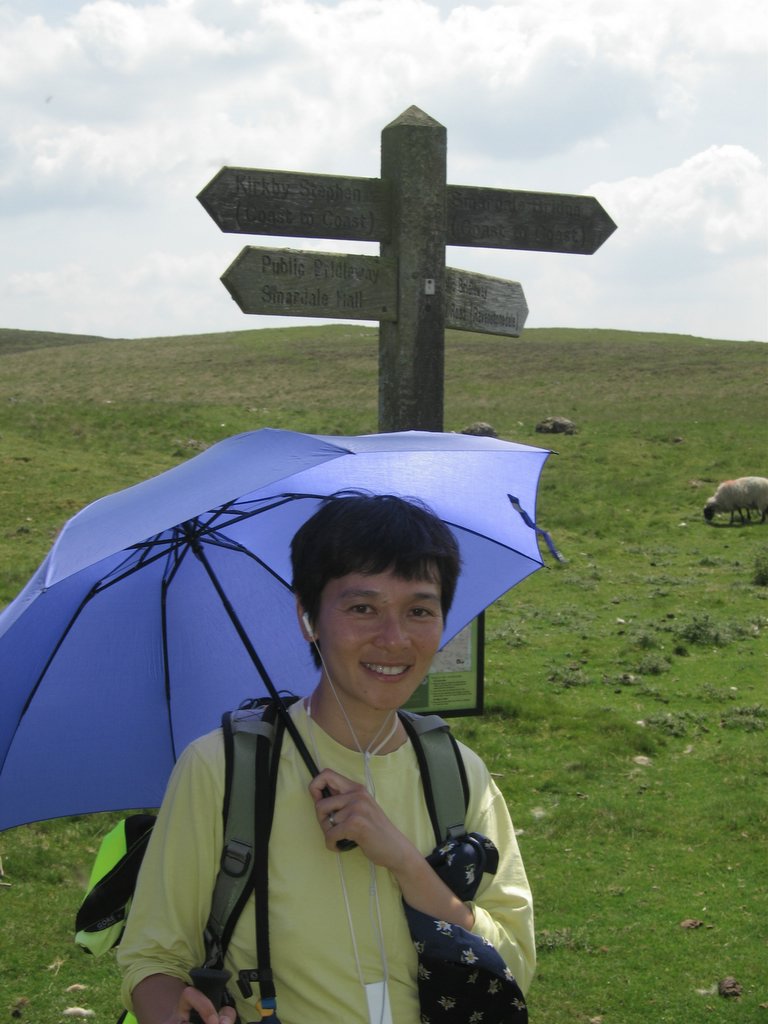

Kirkby Stephen to Keld
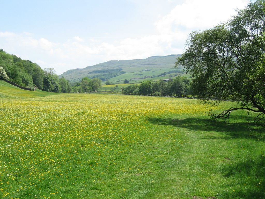
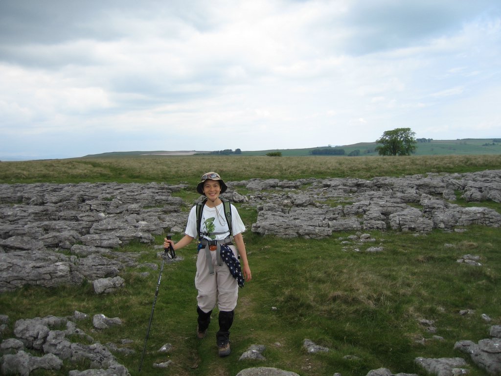
We went over the Penines today, up to the nine standards, over the hills, and down into the Yorkshire Dales National Park. The route wound its patient way up a completely unshaded hill, with moorlands over the top, and lots of peat bogs that normally would be really nasty to walk through, but it had been dry for almost a week now so we only had to tip-toe around a few spots here and there.
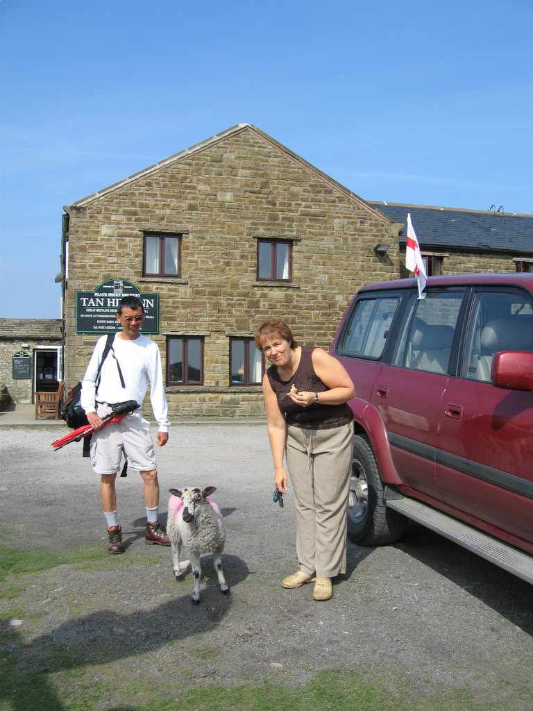
Yorkshire Dales is beautiful, with yellow buttercups and lovely barns. Again, lots of sheep, but we got to Keld at 4:00pm despite several breaks, and our cell phone didn't work. We resorted to a payphone off the main road to call our Inn for a pickup (we were staying at the Tan Hill Inn, the highest Inn in the entire U.K.), and since that was the only phone box in town they knew exactly where to pick us up.
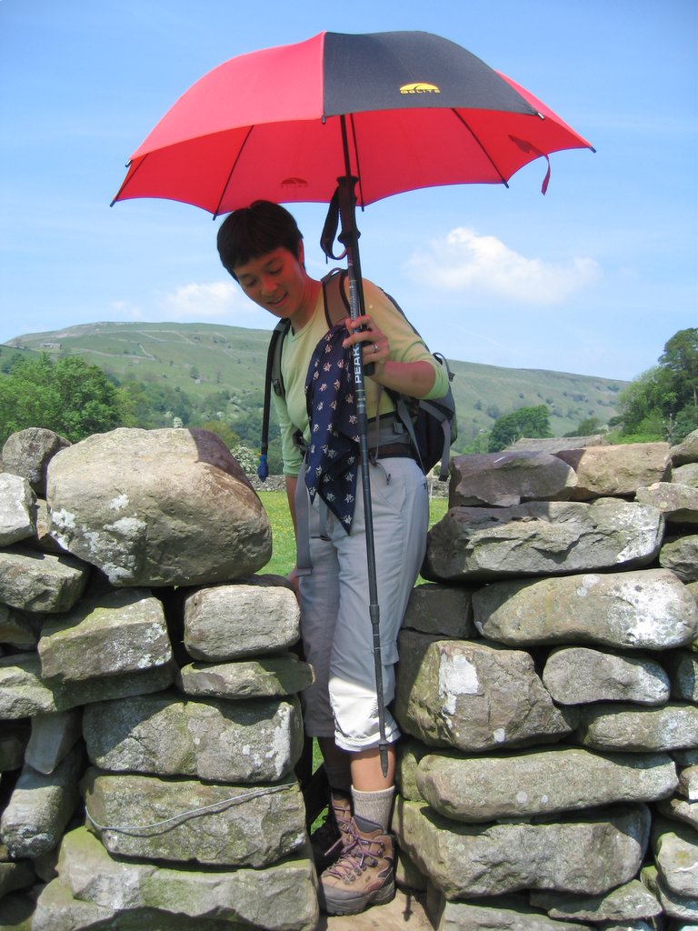
Lisa got a case of sunburn on her legs where we forgot to apply sunscreen because we had umbrellas up. Sunburn in England! Nobody's going to believe her.
Yorkshire Dales is beautiful, with yellow buttercups and lovely barns. Again, lots of sheep, but we got to Keld at 4:00pm despite several breaks, and our cell phone didn't work. We resorted to a payphone off the main road to call our Inn for a pickup (we were staying at the Tan Hill Inn, the highest Inn in the entire U.K.), and since that was the only phone box in town they knew exactly where to pick us up.
Lisa got a case of sunburn on her legs where we forgot to apply sunscreen because we had umbrellas up. Sunburn in England! Nobody's going to believe her.
Stonethwaite to Grasmere
We woke up still footsore but surprisingly refreshed and ready for another day. A typical English breakfast followed (recommended only for people who are doing hard exercise—the same fare would probably provide a heart-attack for anyone else), and then we were on our way. I discovered that sock-liners made my boots feel too small, so resorted once again to moleskin to reduce contact with the sore part of my ankle (which was still unblistered)
A bridge crossing later, we were on the official trail route again, which passed waterfalls and then started climbing quickly in the beautiful morning light. After a false summit, the path led us through some boggy areas—so far, there’s never been a day here that I hadn’t ended up being grateful for my waterproof hiking boots.
The hike up to the top was uneventful, but the scenery was gorgeous as was the light—the Lake district mountains have a distinctive talent for appearing to be much taller than they have a right to look, despite none of them being higher than Mt. Hamilton in the Bay Area.
The book noted that today had the most accessible of the coast to coast’s high ridge walk, so despite our lingering soreness, we decided to take it. The views were again outstanding, with visibility being good enough for us to see both Grasmere and Windermere lakes.
The descent from Helm Crag, however, was steep beyond belief—the bottoms of my feet were again pulsating by the time we hit the bottom, and it was to our relief that the hotel we’d booked was the first one we encountered in town.
Grasmere was a picture-perfect little town—so small that the nearest Laundromat was a bus-ride away. Fortunately, the bus comes by every 20 minutes or so (at least, that’s what we were told). We wandered around, found dinner, booked dinner at the Jumble House for the next night (yes, things were so crowded we couldn’t have dinner there that night!), and then found the Wordsworths’ graves at the Church of St. Oswald.
Subscribe to:
Comments (Atom)


