Auto Ads by Adsense

Booking.com

Sunday, June 18, 2006

Coast to Coast Index

This is just a place holder page (a permanent location, if you will), for all the coast-to-coast related text posts. Luckily for me, Google debut Picasa Web Albums just in time for me to host the pictures from the Coast to Coast.
  1. St. Bees to Ennerdale Bridge
  2. Ennerdale Bridge to Stonethwaite
  3. Stonethwaite to Grasmere
  4. Grasmere Rest Day
  5. Grasmere to Patterdale
  6. Patterdale Rest Day
  7. Patterdale to Shap
  8. Shap to Orton
  9. Orton to Kirkby Stephen
  10. Kirby Stephen to Keld
  11. Keld to Reeth
  12. Reeth to Richmond
  13. Richmond to Danby Wiske
  14. Danby Wiske to Osmotherley
  15. Osmotherley to Blakey Ridge
  16. Blakey Ridge to Egton Bridge
  17. Egton Bridge to Robin Hood's Bay
  18. Conclusion
  19. Equipment Recommendations
  20. B&B Notes
  21. On British National Parks
  22. Tips for the Trip
  23. Addendums to the Stedman Coast to Coast Trail Guide
  24. Packhorse Versus SherpaVan
  25. Photos
[Update: I found a photo solution]
[Update: The trip report is now largely complete, pending revisions to some of the shorter entries]

I'm back!

Went for 42 miles of riding today, and it's such a relief going at 15mph instead of 3mph! And having painless descents... Unfortunately, any fitness I gained by walking didn't transfer to cycling, as I found myself slower on the bike as a result of not having been on the bike for 3 weeks. To top that off, I also felt pain in my left ankle --- looks like I injured it a bit during the walk. Hopefully, the recovery is quick!

Now to get my slide film developed and to deal with bills...

Equipment Recommendations

Here's a list of equipment that worked particularly well. Not to say that the other equipment we brought didn’t work, but we were particularly grateful for those.

  1. Pants with zip-off legs. Very good for reducing amount of clothing we had to carry while being versatile in all sorts of weather conditions. Of the ones I owned, the Ex-Officio ones were outstanding, and I used them every time I wanted to do a very long walk, and they’ve served quite well.
  2. Mont-bell and Go-lite Dome Trekking Umbrellas
  3. DuoFold Synthetic T-shirts. At $7 a T-shirt, the long sleeves are warm when it’s cold, cool when it’s hot with wicking fabric, and quick drying. Quite a steal from Campmor.com.
  4. Camelbaks
  5. Sennheiser PX 100-II Supra-Aural Mini Headphones - Black—these really proved themselves capable of surviving the abuse and rigors of a cross-country hike! Triply recommended.
  6. REI Peak Ultra-lite Trekking Poles. I hesistated on spending $100 on a pair of these (Lisa & I used one each, but they're only sold in pairs), but I shouldn't have. They do have the tendency to slip a bit under heavy use, but it's a small price to pay for the weight.

Osmotherley to Blakey Ridge

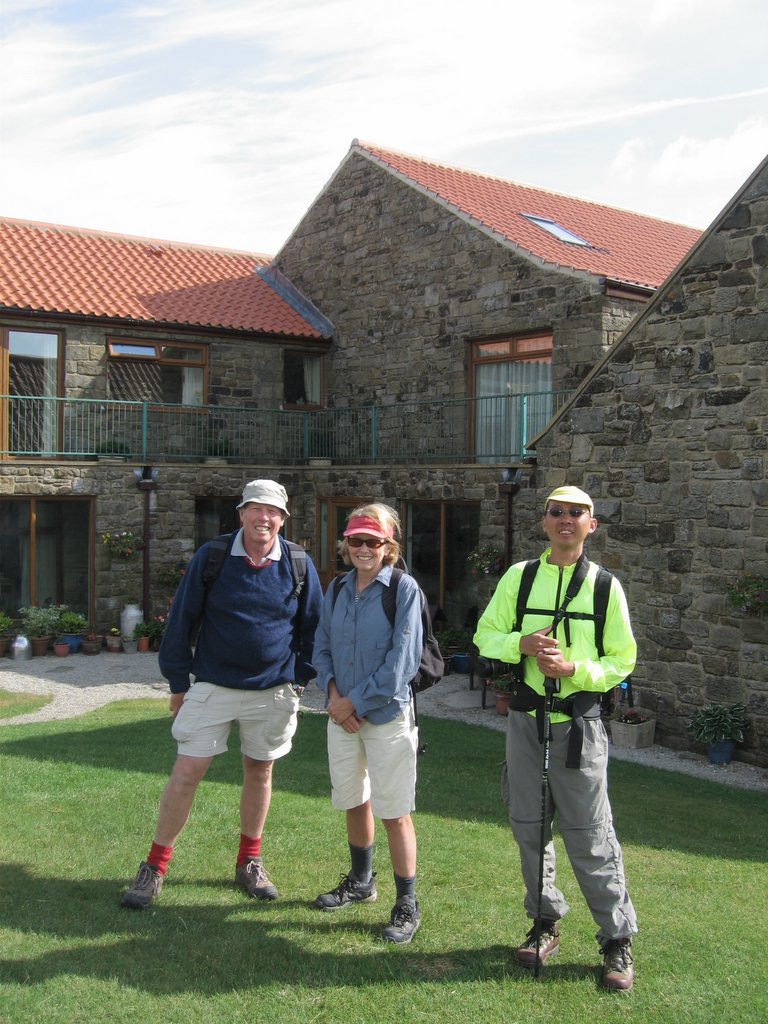
Gillian offered me breakfast at 6:00am, since I wanted an early start—another reason to select the Mill House if you’re in that area and want an early start—as far as I know, she’s the only one who will do so!

Gillian dropped me off right at the foot of the path to the Swainstye farm, which she told me would take me to the booster station at the top of the hill. I’m glad she knew where to take me, because I was expecting a dirt road, but it was instead very nice pavement. The walk up was quick in the cool morning air, but the cloudy sky was definitely a hint that this was not going to be another, hot dry day.

At the Booster station, I picked up the Cleveland way, marked with the sign of an acorn. I walked along the forest, and then out into a moor. A light drizzle started to come down right after I put on sunscreen in a fit of optimism, but the trail immediately dived into a forest trail, so I did not bother putting up the umbrella since the forest canopy was thick enough to prevent any rain from actually touching me. I put on my ipod and plugged away.

The trail went up and down, but I made good time and soon hit Lord Stone Manor at 10:00am, much earlier than anticipated, and had not used much of my water. I took the opportunity to fill up, since this was the last chance to fill up for the rest of the walk. There., I met Ray, and offered to walk together with him, but he demurred, saying that he couldn’t keep up with me with that my lightweight setup today.

I went on ahead then, pushing my way up the hills. It was warmer now, but with the wind blowing at a pretty good clip. I started to feel driven by twin demons of rain and wind. Add sun to it and I felt compelled to move as quickly as possible, eating and drinking on the move, stopping only to change socks or take something out of the pack.

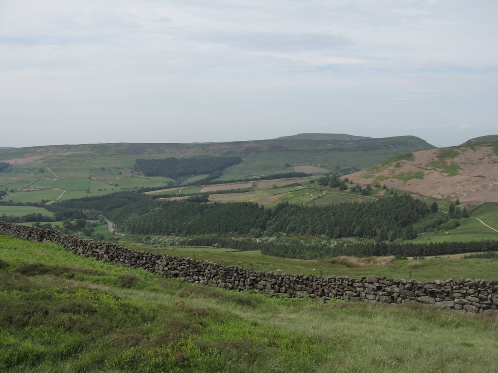
Soon enough, I hit the Wainstones past Clay Bank top, the last climb of the day. I saw no obvious way up Wainstones, and ended up following a path around it which resulted in some scrambling, but reached the top with no ado. Then the long walk on Urra Moor. The book said it would take 45 minutes, but at about an hour, I still hadn’t seen any of the landmarks described in the book. Getting worried, the trail narrowed and I approached something of an obstacle across the path.

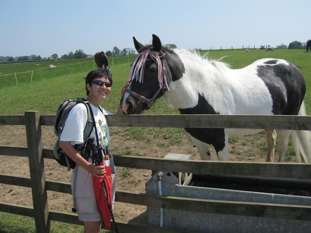
Fortunately, there was a couple sitting on an embankment having lunch, so I asked where I was. The man hopped up and told me that I wanted the railroad track, which I was at (the Rosedale Junction), not any of the turn-offs that was prominent there. This turned out to be a fortituous stop, since everyone behind me would take an incorrect turn at this point. And no wonder, since when I asked him to point out where I was on the map, I was a full page away from where I thought I was!

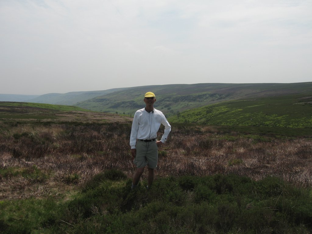
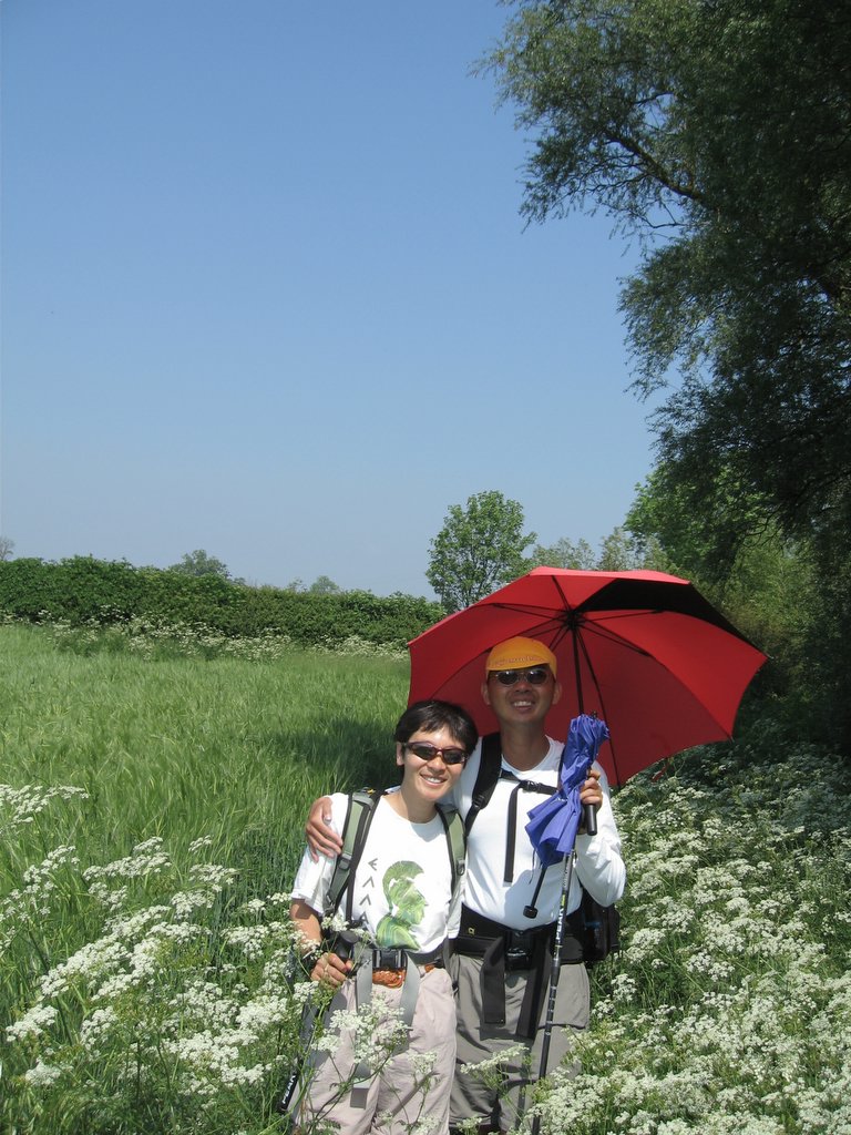
I walked along the boring path, stopping to change socks at this point, and ate three bars in rapid succession. I then ran into a guy with a Land Rover who agreed to take a picture for me. I then met some walkers who were doing the coast to coast East to West, and they told me I was two hours away from the Lion Inn. Indeed, at 2:30 I spotted the Lion Inn. The sky started to cloud over and rain drops started falling, prompting me to open my umbrella. I strolled along, not too worried and pretty comfortable under my umbrella, but then the wind grew strong and the raindrops grew heavier. I quickened my pace, and soon reached the bottom of the turn-off to Blakey Ridge, which was unsigned.

Lightning and Thunder were now evident around me, and I stared at the Blakey Moor sign for a half second before deciding that if there was any time to run now was it. I leapt up along the trial, trying to dodge the puddles that had just formed, but in vain—the water was now coming down in sheets. The umbrella was holding up, but with the deluge of water I was getting soaked anyway! By the time I got to the Inn, I was quite a sight, and made an impressive entrance into the Inn—umbrella dripping in my left hand, hiking stick in my right, also dripping, clothes drenched from hat to shoes. If I had thought about it, I would have struck a pose like Sarah Michelle Gellar at the end of the Buffy episode, since all that liquid dripping off my stuff would have evoked that image, “Anne.” Lisa was there at the Inn having tea right at the entrance and was relieved to see me, drenched as I was.

Friday, June 16, 2006

Group Photo at the Bay Hotel

Yannika, Piaw, Lisa, Margaret, Peter, Eric (squatting), Bey, Andy, and Ray. Posted by Picasa

Robin Hood's Bay

 Posted by Picasa

We arrive at the Coast!

 Posted by Picasa

View of the North Sea through Wheat Fields from Hawkser

 Posted by Picasa

Thursday, June 15, 2006

The Hermitage in Little Beck Woods Nature Preserve

 Posted by Picasa

Lisa climbs the 33% grade up from Grosmont

 Posted by Picasa

The Stepping Stones at Egton Bridge

 Posted by Picasa

Peter & Margaret Morris and Piaw at High Blakey House B&B

 Posted by Picasa

Along the dismantled Iron Ore Track

At 17 miles out of 21 miles to go, in the Yorkshire Moors along the Rosedale Ironore dismantled railway. Posted by Picasa

View along the Yorkshire Moors, National Park #3

 Posted by Picasa

View from the Alec Falconer memorial bench

 Posted by Picasa

Coast to Coast Completed

We finished the Coast to Coast on Wednesday, a strong finish with a 17 mile walk to complete the last stage (including a 33% climb that lasted for about 45 minutes at the start). It's been a challenging walk, much more so than I would have thought or planned for, but once the North Sea came into sight our steps quickened and our spirits lifted and we finished with no problems at all.

Yesterday and today, we're exploring York, and tonight we'll be in Manchester with a flight home tomorrow.

Sunday, June 11, 2006

Danby Wiske to Osthmotherley

A fairly easy and straight forward day today --- we made the first 6 miles in a little over 2 hours, and arrived at Osmotherley in time for lunch at 2:00pm. The terrain was flat and farmland, with hazy views because of the heat. We could see the hills going into the Yorkshire Moors National Park in the distance, but the sun was quite oppressive --- to give you an idea, the forecast is for isolated thunderstorms tomorrow. We've been very fortunate with the weather.

Finally, we passed into the Arncliffe Wood and linked up with the Cleveland way before entering the village for the evening. Tomorrow's going to be a tough day, a 21 mile day. We'll see how I do. Lisa's opted to skip this stage by riding along with the lugguage van, but I'm optimistic that I can make it in before the forecasted rain showers.

Saturday, June 10, 2006

Richmond to Danby Wiske

We got off to an early start, and left while the air was still cool. We enjoyed very much the walk alongside the river, and then past the sewage plant and into the woods, but very quickly got lost on the way to Colburn, ending up at Walkerville. Fortunately, the main road led us right to Catterick Bridge, the next major intersection, so while we ended up with a lot of road walking, we did not actually lose very much time or a lot of distance.

There, we met up again with Andy and Bey, the two Canadians with a GPS unit, and were happy to follow along with them until we reached the second long road stretch. There, we met more Australian visitors, and reached the hamlet of Danby Wiske at 3:30pm, easily one of the fastest 14 mile days we've done so far.

It's been another running shoe day for me as well. It looks like I have one more day in boots, as there's a forecast for rain on Tuesday, but other than that, I should be good to go. The end is now in sight!

Lisa finds another horse to pet

 Posted by Picasa

The Wheatfields came up to Waist High!

 Posted by Picasa